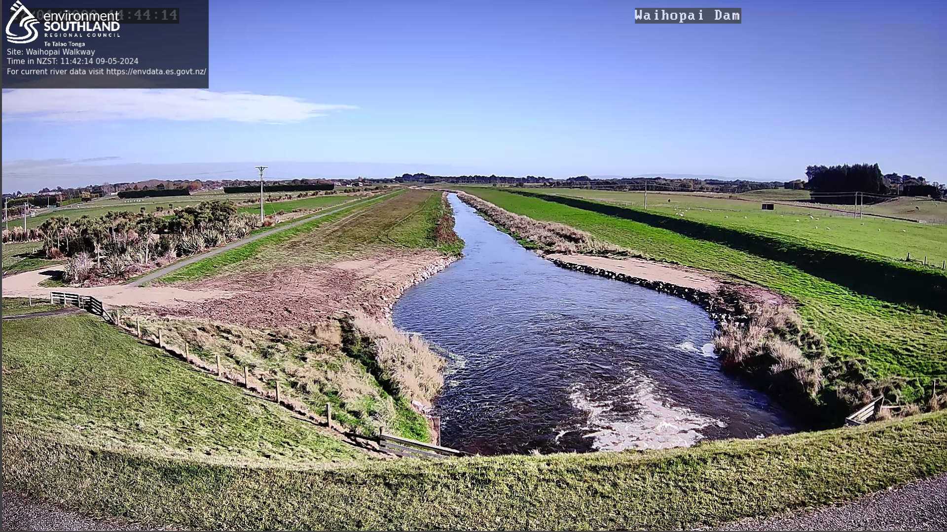
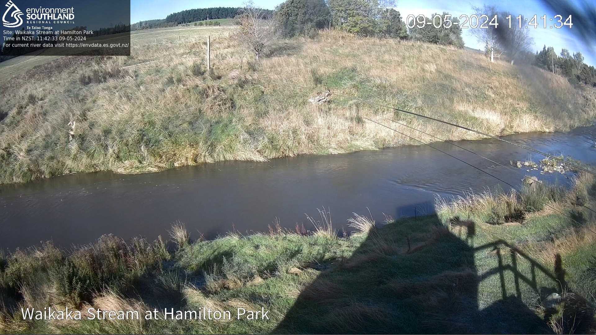
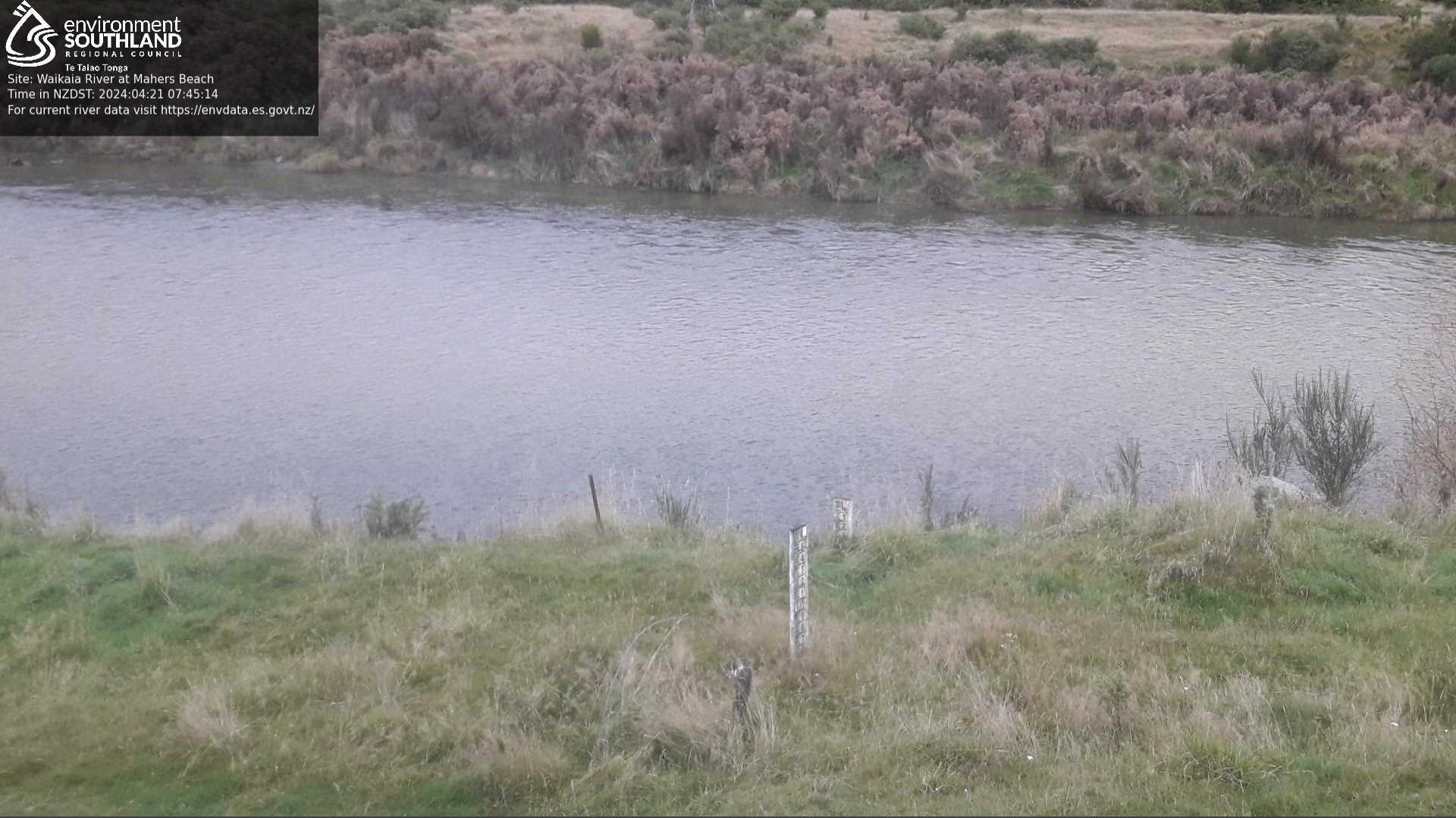
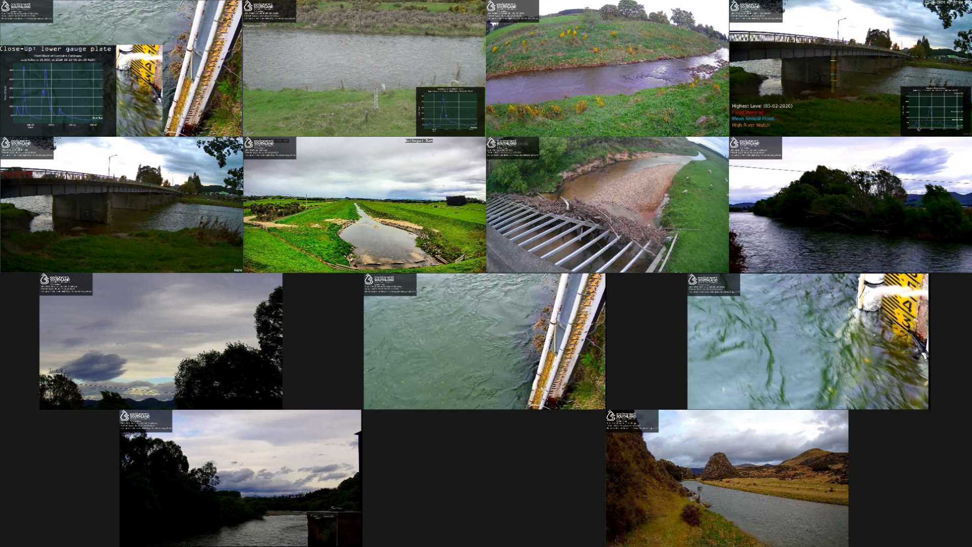
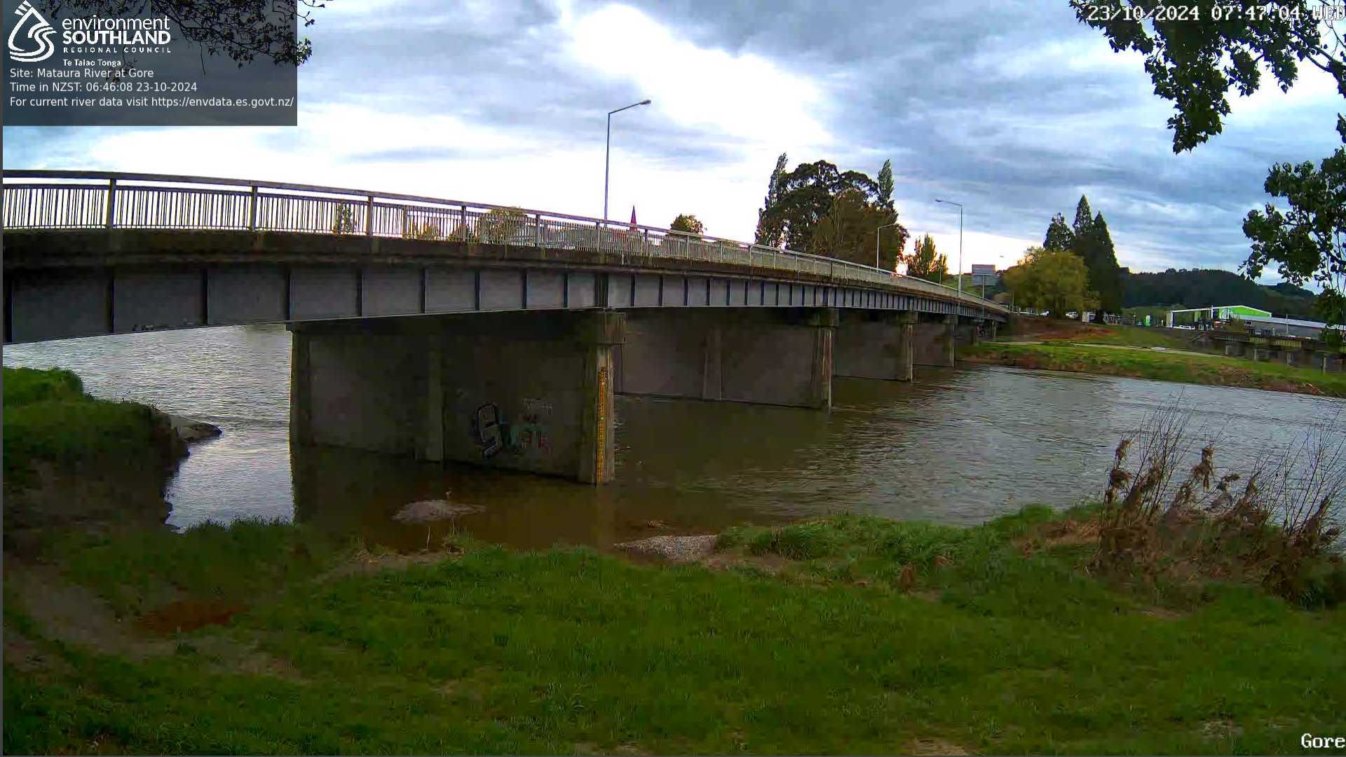
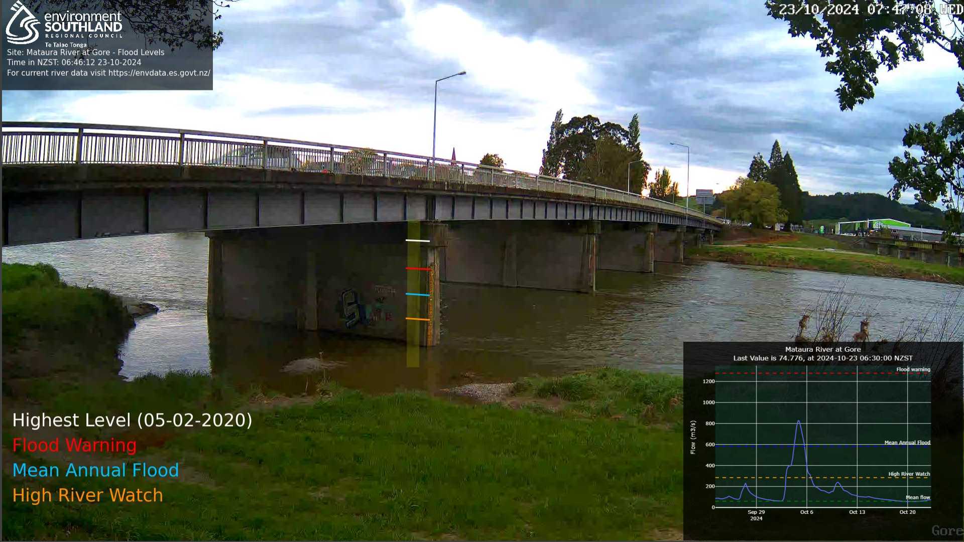
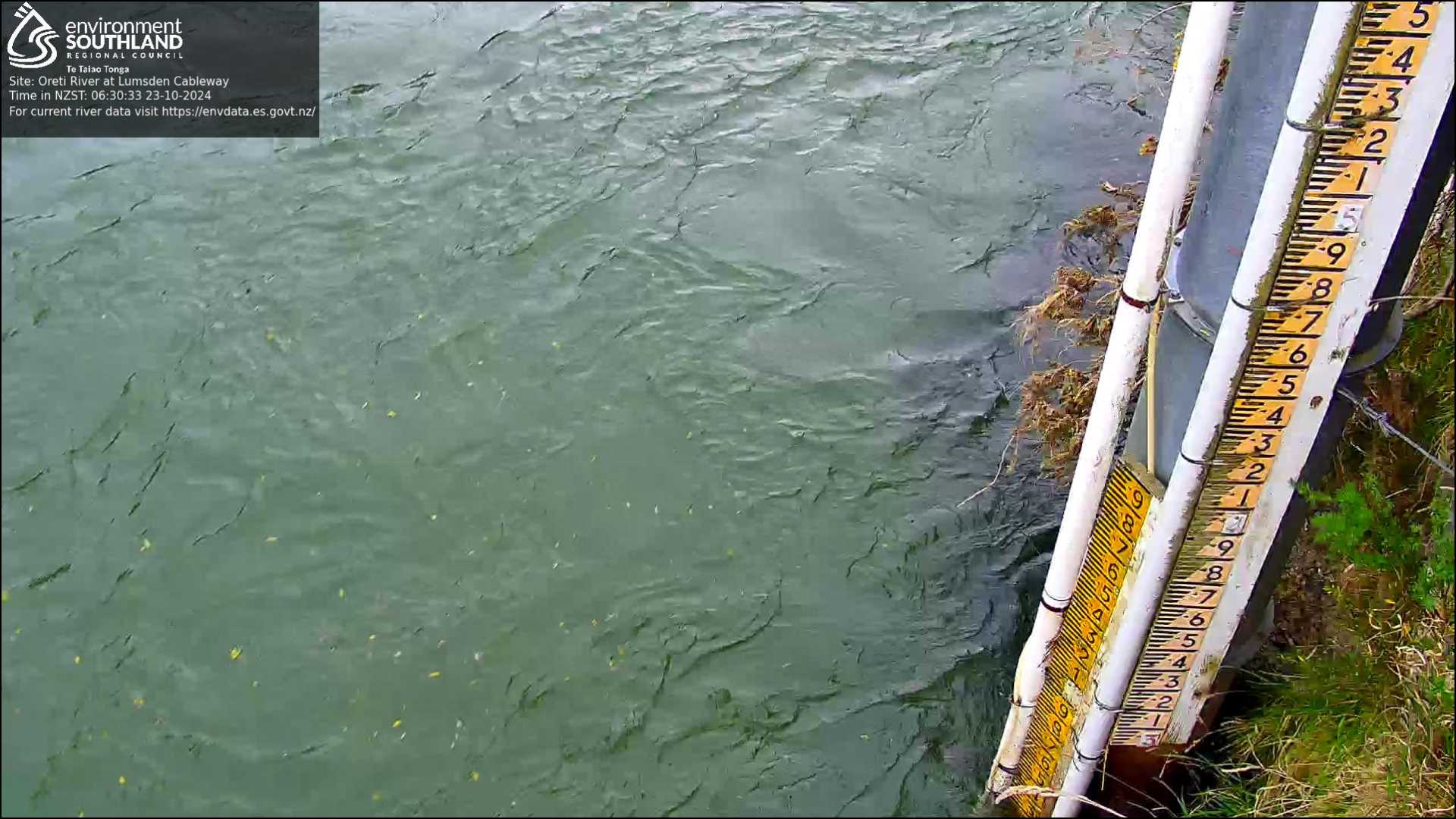
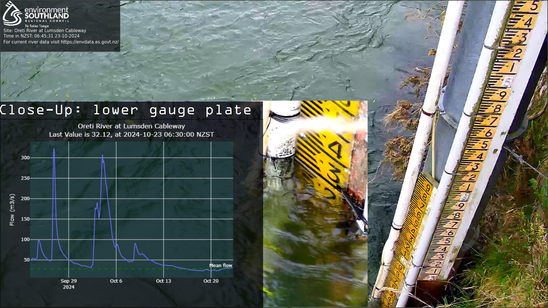
The images captured by web cameras at our river monitoring sites are part of the Data to Life network.
These images are provided to enable the community to view environmental data alongside (near) real-time imagery collected by onsite automated cameras. Environment Southland also uses this information for flood monitoring, stream health and asset management.
Most images are updated hourly, but the frequency may change. New cameras are planned to expand this network.
Read more about our use of web cameras and drones in the media release (30 March 2023)
Bringing Data To Life sites
Click here to view the full-size image