Protecting communities since 1948
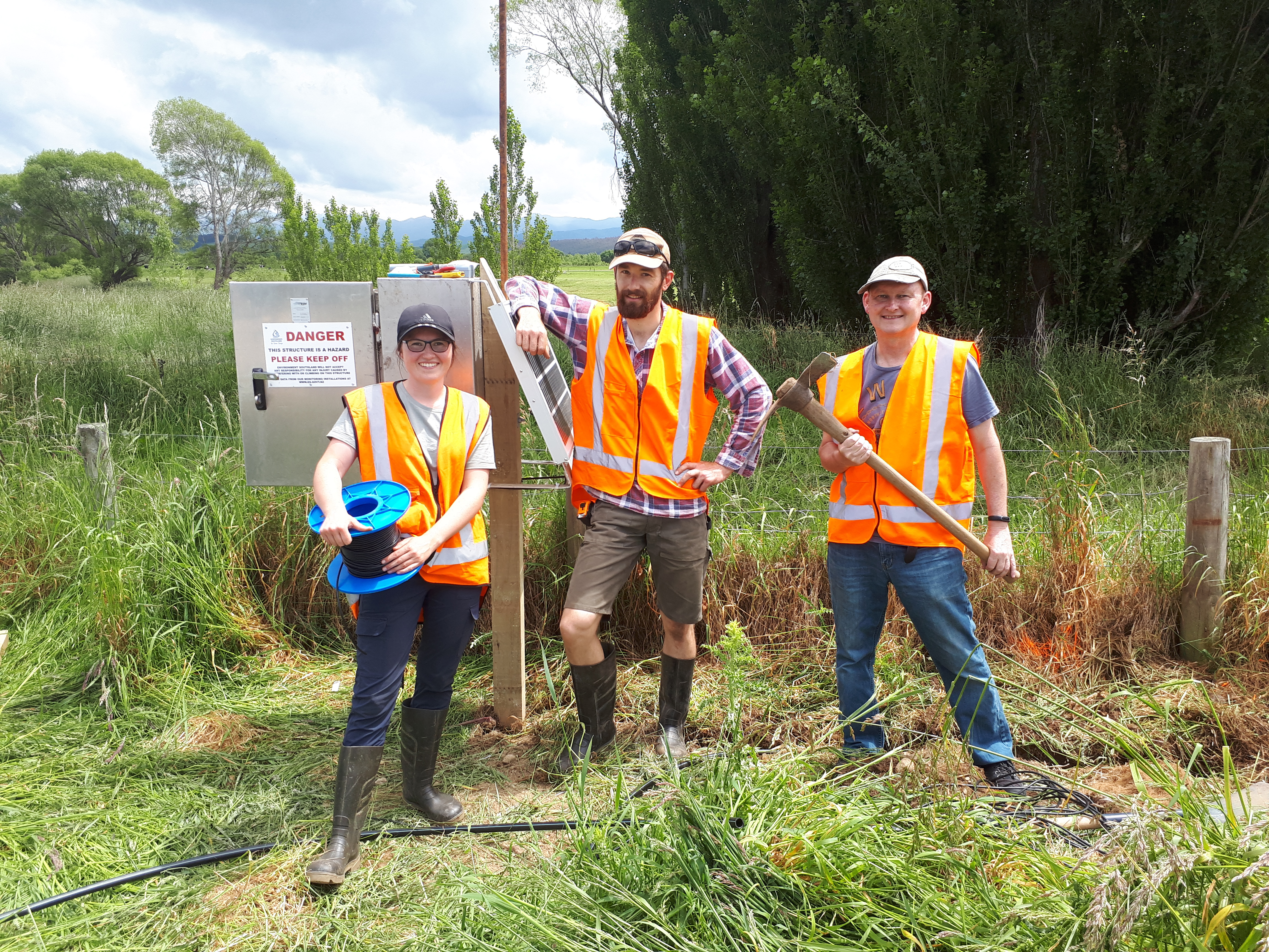
Today, Environment Southland maintains and gathers river-level data from 51 flood warning sites. Nineteen sites are specifically for monitoring river levels and generating flood warnings.
The changes in technology have led to significant improvements in the availability and reliability of information, and in 2017 Environment Southland installed the first satellite site.
For the flood warning officers, as river levels rise to pre-determined trigger levels, an alarm alerts them and then a response springs into action.
Chris says once the alarm rings the frequency of monitoring increases, a flood warning message is posted on the Environment Southland website and Facebook page and the people that need to know – within the organisation and emergency services – are advised about what might lie ahead.
“The MetService provides us with predicted rainfall for the region based on three global computer models,” Chris says. “This data is fed into our flow runoff models. As this is predicted rainfall, the forecast has a larger margin of error but gives us an idea of the potential magnitude of the event.”
While the rain is falling, the actual rainfall data is fed into the flow runoff models. These models provide more information about flood peak times and magnitudes, and have a lower margin of error than the forecast rainfall model.
With more certainty, staff can make more informed decisions about any actions that need to be taken.
As the intensity of a flood increases, so too does the need to advise the public that floodwaters may soon mean the community need to take action. Prerecorded radio messages are broadcast on several local stations to alert the community.
Even with the telemetered monitoring equipment, staff are still sent into the field to measure floodwaters to ensure the data being fed into our systems is accurate.
Update on Mataura River stop banks
In August 2022, an evaluation of the Mataura River stop banks by specialist engineers was received that identified concerns about their capacity. The investigations highlighted that further work was required urgently, to better understand the capacity and integrity of the stop banks.
These investigations, now complete, included detailed geophysical investigations. This information has been analysed and confirms that the stop banks are structurally sound. Expert engineers however have identified a 600m section of the riverbank on the true left bank in Mataura that is at risk of erosion. Read more about this here.


