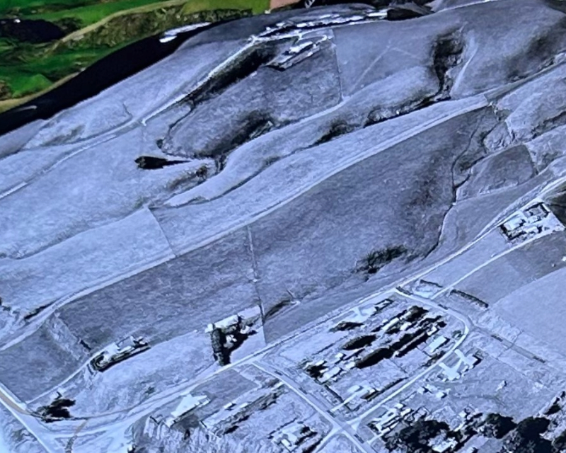
New mapping tools helping navigate the region’s future
Great South GM Strategic Projects Steve Canny says they are routinely using LiDAR for a wide range of purposes as it gives more confidence in project decision making and more certainty around managing risk.
Environment Southland GIS team leader Geoff Welch says the vast majority of Southland, excluding the National Parks, has been LiDAR mapped.
“LiDAR data will greatly improve council projects such as hazard planning, policy, compliance, community advice, farm mapping and management plans, as well as understanding landscape change and hydrological processes such as stream flow estimation and catchment size.”
He’s encouraging people to check out the LiDAR maps on the Environment Southland natural hazards portal.
“You can even check what the view will be from a location where you want to build a new house,” he says.


