Flood modelling in Southland

Why flood modelling matters
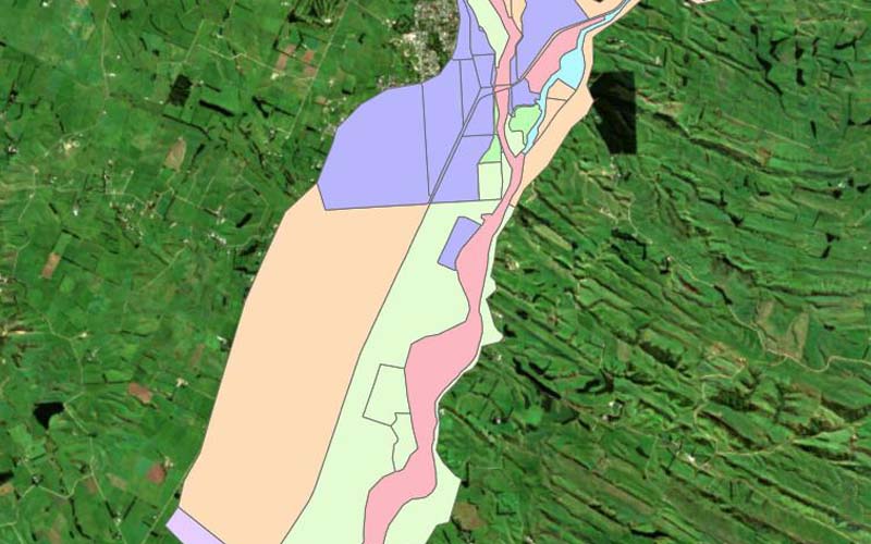
Flooding is Murihiku Southland’s most common natural hazard, affecting our people, properties, businesses and infrastructure. With four major river systems—Mataura, Ōreti, Aparima and Waiau —our region is particularly vulnerable to river flooding, which can cause significant environmental, economic and social impacts.
To better understand flood risks, Environment Southland uses flood modelling to assess how river systems respond to rainfall, land use changes and climate change. These models help us make informed decisions to protect communities, critical infrastructure and our regional economy, which has a GDP of $7.3 billion.
What is flood modelling?
Flood modelling is a computer-based approach that uses mathematical equations and scientific principles to predict how rivers, streams and floodplains behave during different rainfall and flood events. It involves hydrological and hydraulic modelling to assess:
- Where floodwaters flow and pond
- How deep and fast water will flow
- How infrastructure like stop banks, roads and bridges may be affected
- How climate change will impact future flood risks
By understanding these factors, we can strengthen our resilience to flooding and reduce potential flood damage. This knowledge helps improve emergency response and recovery planning, future-proof flood protection measures and exploration of long-term solutions for greater resilience.
How flood modelling supports Murihiku Southland’s resilience
Environment Southland is responsible for managing 500+ kilometres of stop banks, more than 1000 km of drainage networks, spillways, dams, tidal gates and pump stations to reduce the impact of flooding. Our Flood Intelligence Programme plays a key role in:
- Designing and maintaining flood protection infrastructure (e.g. stop banks and pump stations)
- Informing Southland and Gore district councils and Invercargill City Council on minimum building floor levels and flood risk areas for land use planning, critical infrastructure planning and Land Information Requests (LIMS)
- Protecting critical infrastructure, such as roads, rail bridges, water services (drinking water, wastewater, and stormwater), telecommunications and Invercargill Airport
- Ensuring Murihiku Southland is prepared for a changing climate, with more intense rainfall and rising sea levels